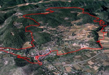
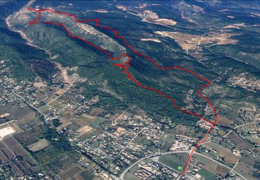
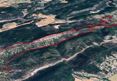
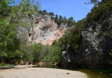
Randonnée Marche Le Val - Le Cuit - Photo
 Greg813
Greg813

Utilisateur

© OpenStreetMap contributors
Longueur
Longueur
12 km
Altitude max
Altitude max
520 m
Dénivelé positif
Dénivelé positif
379 m
Km-Effort
Km-Effort  
17,1 km
Altitude min
Altitude min
243 m
Dénivelé négatif
Dénivelé négatif
379 m
Boucle
Boucle
Oui
Date de création :
2019-02-16 13:41:13.53
Dernière modification :
2024-07-27 09:07:12.48

(0 Avis)

Marche
Marche
3h52
Difficulté : Difficile

Scannez ce code QR pour ouvrir la randonnée dans l'application SityTrail

Application GPS de randonnée GRATUITE

Logo SityTrail SityTrail

IGN / Instituts géographiques

Télécharger SityTrail sur l'App Store Télécharger SityTrail sur Google Play

Logo SityTrail SityTrail World

Le monde est à vous

Télécharger SityTrail sur l'App Store Télécharger SityTrail sur Google Play Télécharger SityTrail sur Huawei AppGallery

À propos

Randonnée Marche de 12 km à découvrir à Provence-Alpes-Côte d'Azur, Var, Le Val. Cette randonnée est proposée par Greg813.

Description

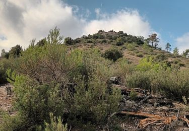
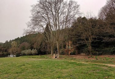
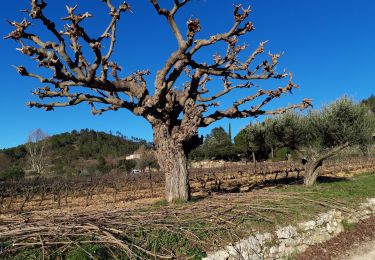
Depuis Le Val, randonnée dans les hauteurs jusqu'à Le Cuit. Assez ombragé sur le début.

Profil altimétrique

Photos

Points d'intérêt

Point d'intérêt Le Val - Route privée - Photo
Greg813
Point d'intérêt Le Val - Panorama - Photo
Greg813
LE VAL 
Point d'intérêt Correns - Chemin disparu - Photo
Greg813

Localisation

Pays :
France
Région :
Provence-Alpes-Côte d'Azur
Département/Province :
Var
Commune :
Le Val
Localité :
Unknown
Départ:(UTM)
262912 ; 4813966 (32T) N.

Randonnées à proximité

Randonnée Marche Correns - Le patrimoine - l'Argens - Le village - Photo
Marche
GUIDE
affinetataille

Marche

Facile
(1)
Correns, Provence-Alpes-Côte d'Azur, Var, France
14,2 km | 18,1 km-effort
6h 0min
Oui
Randonnée Marche Le Val - Les 4 chapelles - Le Cuit - Photo
Marche
GUIDE
affinetataille

Marche

Moyen
(1)
Le Val, Provence-Alpes-Côte d'Azur, Var, France
14,6 km | 21 km-effort
6h 0min
Oui
Randonnée Marche Le Val - Val Le Cuit 18.04.2015 - Photo
Marche
GUIDE
fredetpascale

Marche

Facile
(2)
Le Val, Provence-Alpes-Côte d'Azur, Var, France
13,4 km | 19,1 km-effort
3h 53min
Oui
Randonnée Marche Correns - Correns - Val Obscur - Rive de l'Argens - Grotte aux Fées - Châteauvert - Vallon Sourn - Photo
Marche
LtZIP

Marche

Moyen
Correns, Provence-Alpes-Côte d'Azur, Var, France
21 km | 27 km-effort
4h 57min
Oui
Randonnée Marche Le Val - circuit des chapelles-le Val-07-09-22 - Photo
Marche
Christiancordin

Marche

Moyen
(1)
Le Val, Provence-Alpes-Côte d'Azur, Var, France
14,7 km | 22 km-effort
4h 12min
Oui
Randonnée Marche Correns - Correns-18-03-22 - Photo
Marche
Christiancordin

Marche

Moyen
Correns, Provence-Alpes-Côte d'Azur, Var, France
11,9 km | 14,9 km-effort
4h 10min
Oui
Randonnée Marche Le Val - Circuit des Chapelle-Le Val-15-01-21 - Photo
Marche
Christiancordin

Marche

Moyen
(1)
Le Val, Provence-Alpes-Côte d'Azur, Var, France
12,7 km | 18,1 km-effort
4h 29min
Oui
Randonnée Marche Le Val - Le Val : Le Cuit - Photo
Marche
francisdean

Marche

Difficile
(1)
Le Val, Provence-Alpes-Côte d'Azur, Var, France
12,9 km | 19,8 km-effort
4h 7min
Oui
Randonnée Marche Le Val - LE VAL LE CUIT - Photo
Marche
GILOU440

Marche

Facile
Le Val, Provence-Alpes-Côte d'Azur, Var, France
14,3 km | 21 km-effort
4h 24min
Oui


Fermer
Mes abonnements